Por Fernando Soares (DEGGE, Ciências ULisboa).
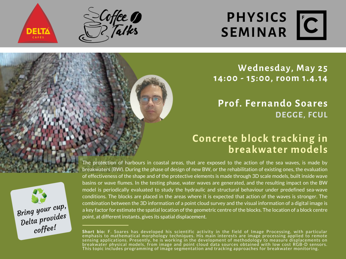
The protection of harbours in coastal areas, that are exposed to the action of the sea waves, is made by breakwaters (BW). During the phase of design of new BW, or the rehabilitation of existing ones, the evaluation of effectiveness of the shape and of the protective elements is made through 3D scale models, built inside wave basins or wave flumes. In the testing phase, water waves are generated, and the resulting impact on the BW model is periodically evaluated to study the hydraulic and structural behaviour under predefined sea-wave conditions. The blocks are placed in the areas where it is expected that action of the waves is stronger. The combination between the 3D information of a point cloud survey and the visual information of a digital image is a key factor for estimate the spatial location of the geometric centre of the blocks. The location of a block centre point, at different instants, gives its spatial displacement.
Short bio: Fernando Soares has developed his scientific activity in the field of Image Processing, with particular emphasis to mathematical morphology techniques. His main interests are image processing applied to remote sensing applications. Presently, he is working on the development of methodology to measure displacements on breakwater physical models, from image and point cloud data sources obtained with low cost RGB-D sensors. This topic includes programming of image segmentation and tracking approaches for breakwater monitoring.